 vesseltracker.com
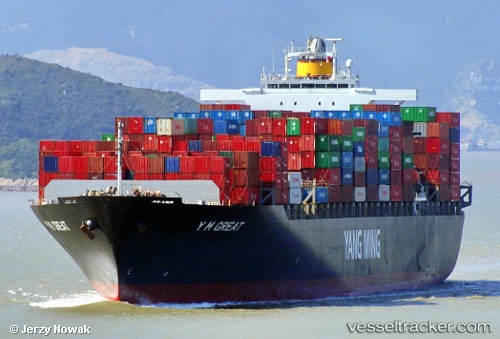
Vessel TINA I IMO: 9267156, MMSI: 636021360 Container Ship
UTC, -7.07353, 2.53938, course: 157, speed: 12.5
UTC, -7.26980, 2.63318, course: 157, speed: 12.6
2026-01-25 21:26:48 UTC, -7.61032, 2.80702, course: 153, speed: 12.6
Live AIS position:
UTC. Open sea, approx. 409 nm off the nearest listed port),
updated 2026-01-25 21:26:48 UTC.
Find the position of the vessel TINA I on the map. The latter are known coordinates and path.
marine traffic ship tracker show on live map
The current position of vessel TINA I is -7.61032 lat / 2.80702 lng. Updated: 2026-01-25 21:26:48 UTCCurrently sailing under the flag of Liberia
TINA I built in 2004 year
Deadweight:
67270 tDetails:
Last coordinates of the vessel:
UTC, -6.66717, 2.31558, course: 151, speed: 12.3UTC, -7.07353, 2.53938, course: 157, speed: 12.5
UTC, -7.26980, 2.63318, course: 157, speed: 12.6
2026-01-25 21:26:48 UTC, -7.61032, 2.80702, course: 153, speed: 12.6